The place
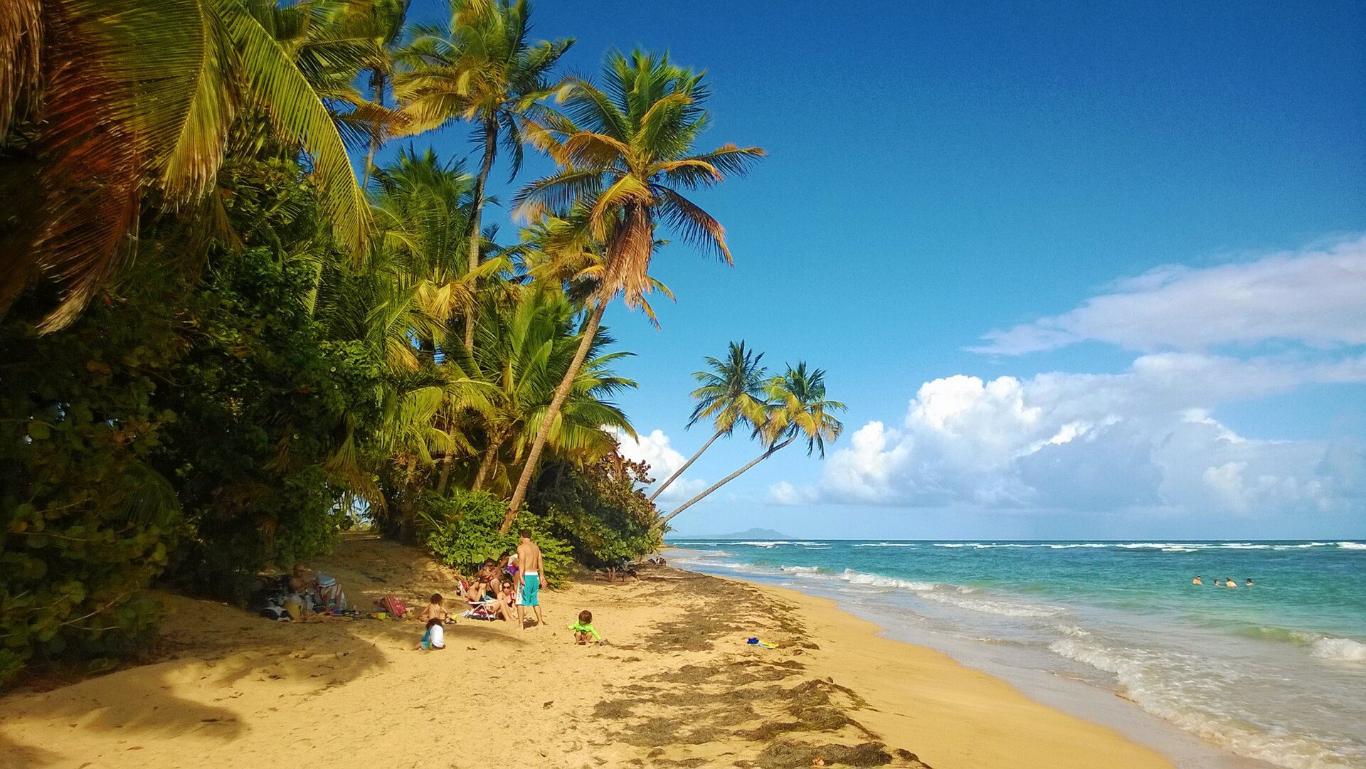
Humacao sits on Puerto Rico’s humid east coast, where river valleys meet the Atlantic. The urban core (barrio-pueblo) clusters around the main plaza; beyond it, sugar-cane history, coastal barrios such as Punta Santiago, and planned resort communities at Palmas del Mar shape daily life and the postcard view.
The name is widely tied to Jumacao (also written Jumaca), a Taíno cacique remembered in early Spanish colonial accounts of eastern Borikén. Spanish, African, and later U.S. layers sit on top of that Indigenous place-memory — like much of Puerto Rico’s coastal towns.
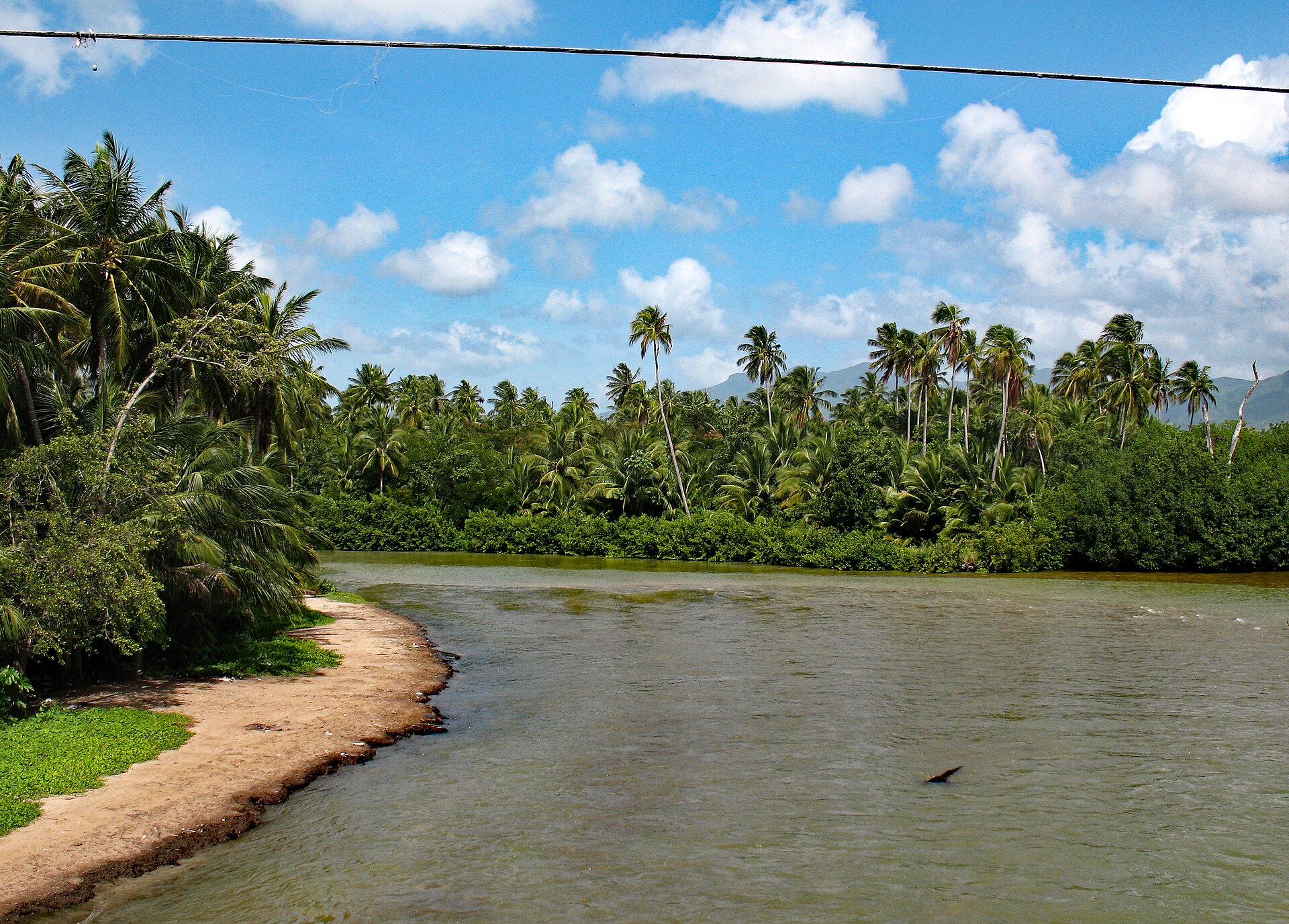
Geography matters here: the Río Antón Ruiz and neighboring wetlands, the view toward Vieques on clear days, hurricane exposure on the Atlantic shore, and road links inland toward Caguas and San Juan for work and family.
Timeline
Humacao’s story is the east coast in miniature: Taíno chiefdoms, Spanish colonial sugar and cattle, nineteenth-century town life, 1898 U.S. sovereignty, twentieth-century migration, and today’s mix of plaza culture, coastal tourism, and mainland family ties.
The wider region was part of Taíno Borikén. Local memory and municipal tradition link the town’s name to cacique Jumacao, associated with resistance and negotiation in early Spanish contact narratives for the eastern island.
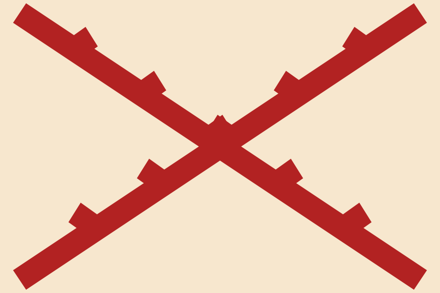
After Spanish settlement of the island, the east coast developed as cattle, sugar, and coastal shipping country under the Cross of Burgundy military banner and later Spanish national colors. A town nucleus at Humacao is traditionally dated to the early 1700s (often cited as 1722).
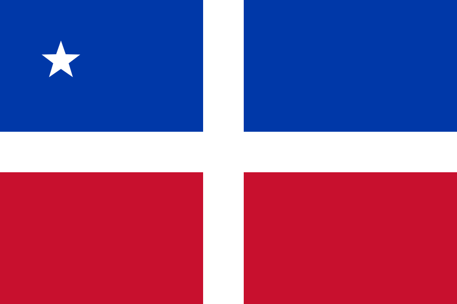
The Lares uprising did not center on Humacao, but its flag became a lasting Puerto Rican independence symbol. East-coast towns lived the same late-Spanish century of liberal reforms, sugar estates, and growing Creole identity that fed that revolt’s memory.
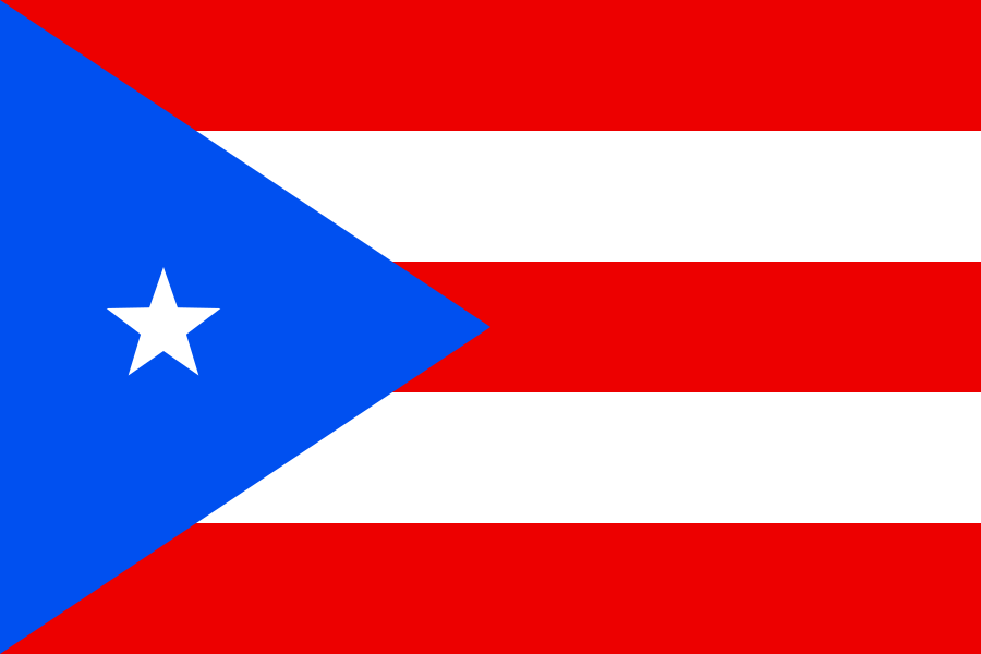
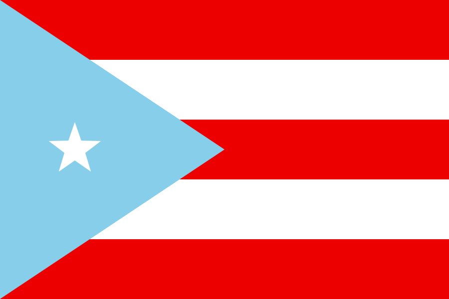
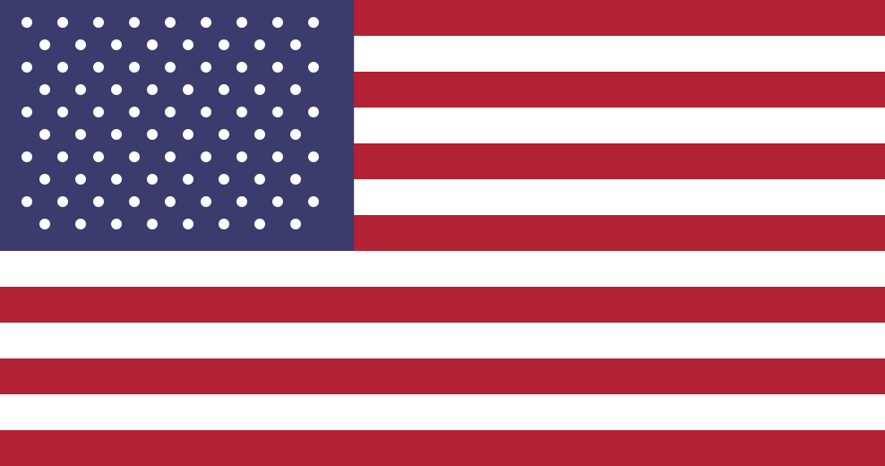
The modern Puerto Rican flag design (five stripes, blue triangle, white star) dates to 1895 among Puerto Rican exiles in New York. In 1898, after the Spanish–American War, Puerto Rico passed to United States sovereignty — the U.S. flag became the territorial flag flown with the Puerto Rican colors.
The plaza and parish church (later co-cathedral) anchored civic life. Sugar declined; manufacturing and services rose. Mid-century Operation Bootstrap and cheaper air travel accelerated migration to New York, Florida, Pennsylvania, and other mainland states — a pattern Humacao families share with the rest of the island.
Palmas del Mar grew as a major planned resort community. Conservation attention increased around Punta Santiago / Humacao nature reserve wetlands. Hurricanes (notably Hugo 1989, Georges 1998, María 2017) repeatedly tested housing, power, and diaspora remittances. The co-cathedral, Casa Roig museum, and plaza remain the cultural core of barrio-pueblo.
Landmarks
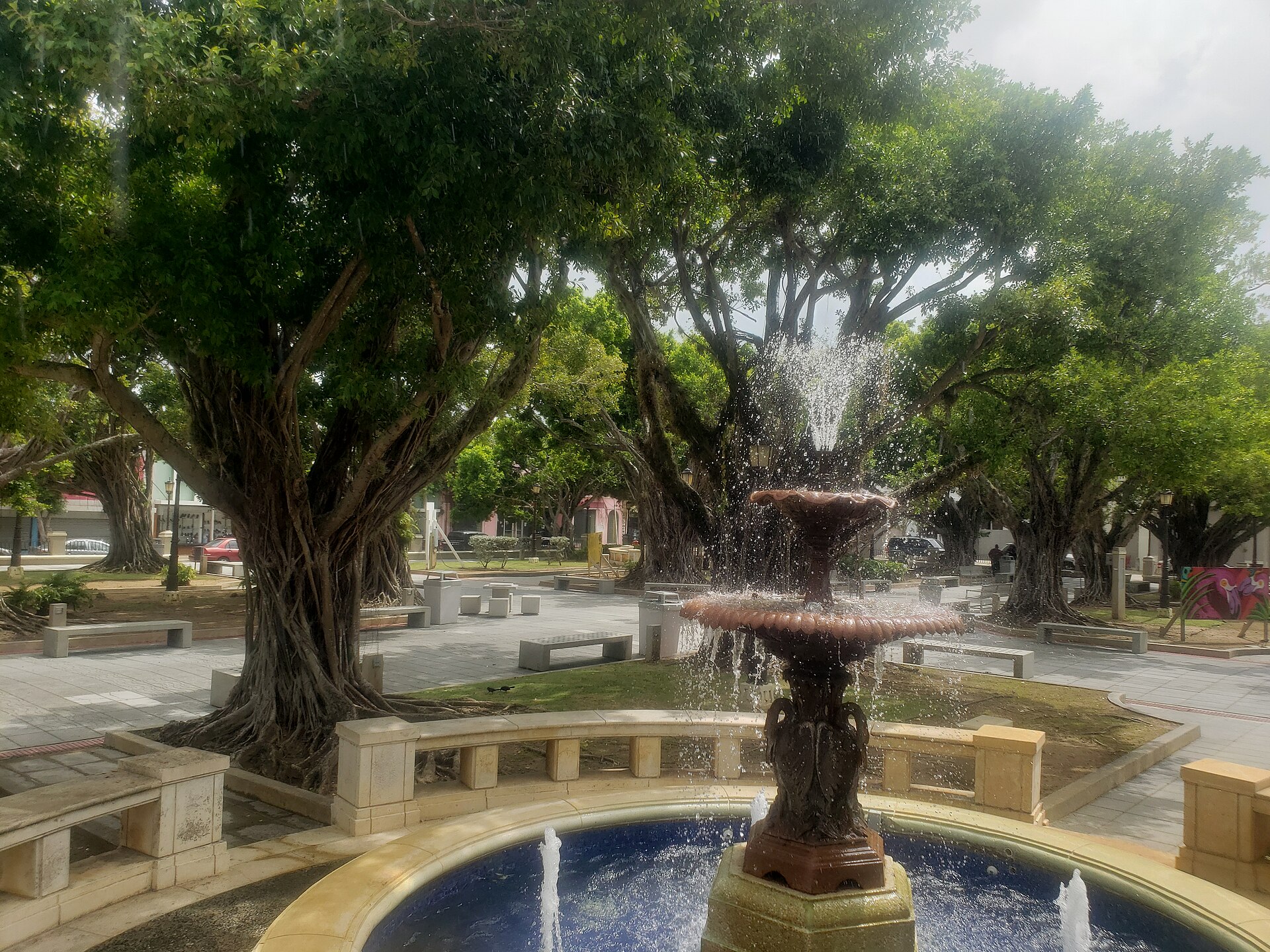
Plaza de Humacao
The main square is still where town life gathers — fountain, benches, municipal buildings, and the walk to church. Festival days, political rallies, and quiet weekday shade all pass through the same plaza.
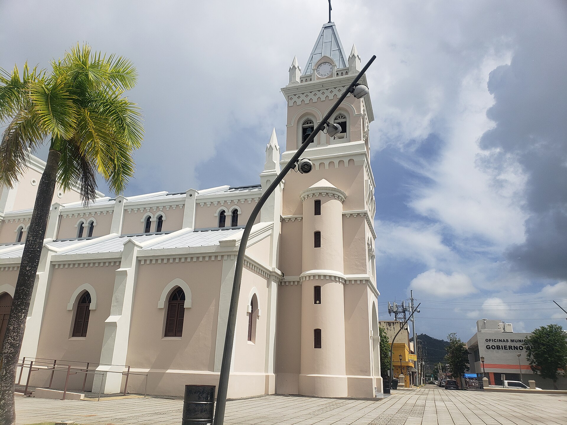
Co-Cathedral Dulce Nombre de Jesús
The parish church dedicated to the Sweet Name of Jesus is the religious landmark of the plaza district. As a co-cathedral of the Diocese of Fajardo-Humacao, it anchors Catholic feast days and family sacraments for residents and returning diaspora.
Casa Roig
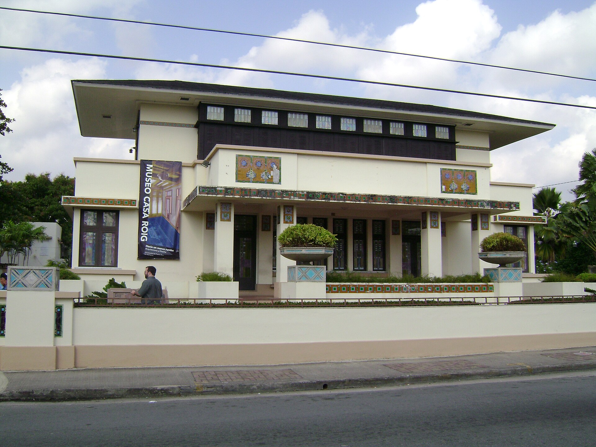
The Antonio Roig house — a Prairie School–influenced residence designed by Czech-American architect Antonin Nechodoma — is one of Humacao’s architectural treasures and now serves as a museum / cultural space. It is a stop for anyone who wants art and early-20th-century design, not only beach photos.
Palmas del Mar
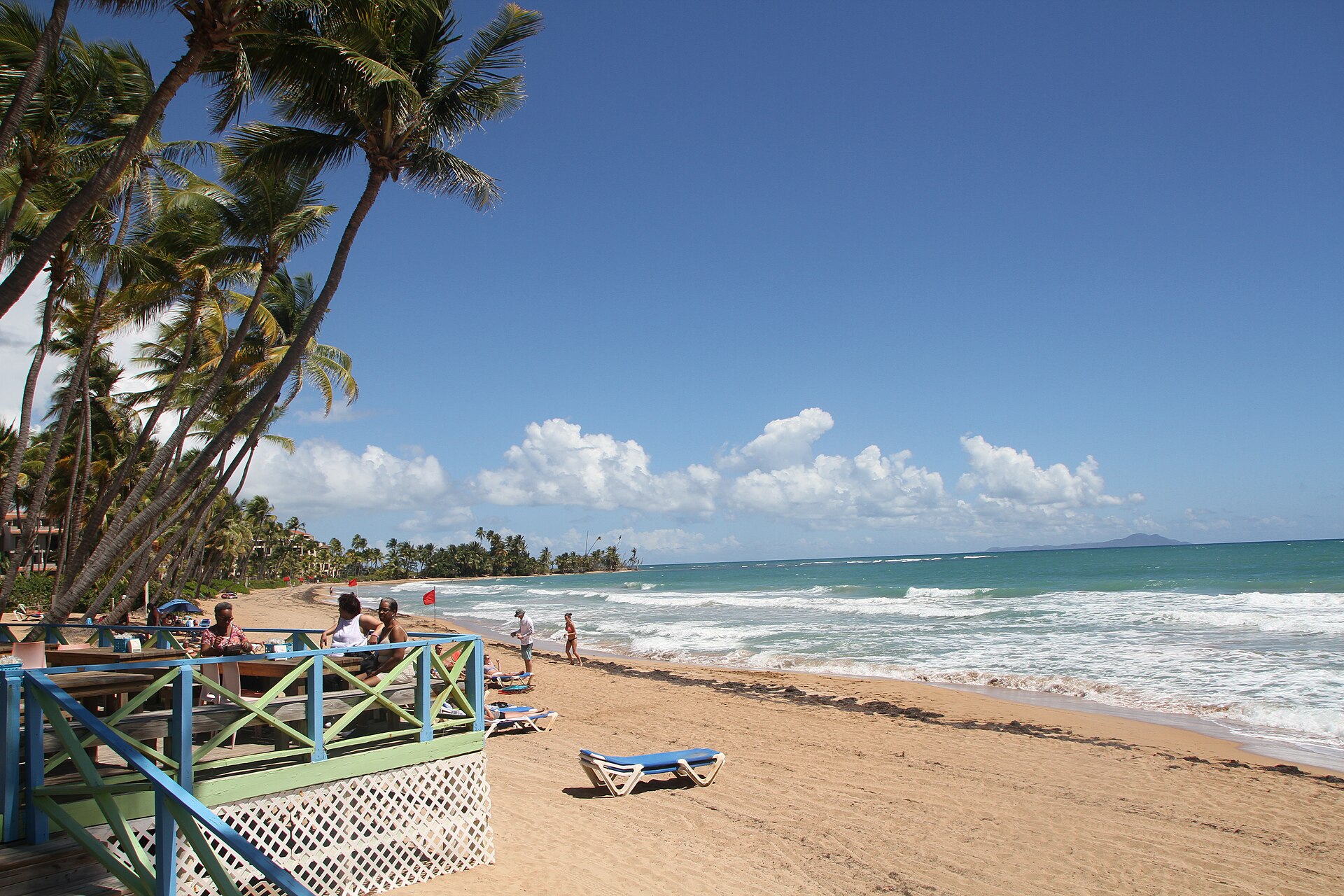
A large planned residential and resort community on the southeast shore of the municipality — golf, marina, and Atlantic beaches that many visitors treat as “Humacao beach” even when they never reach the plaza.
Punta Santiago & nature reserve
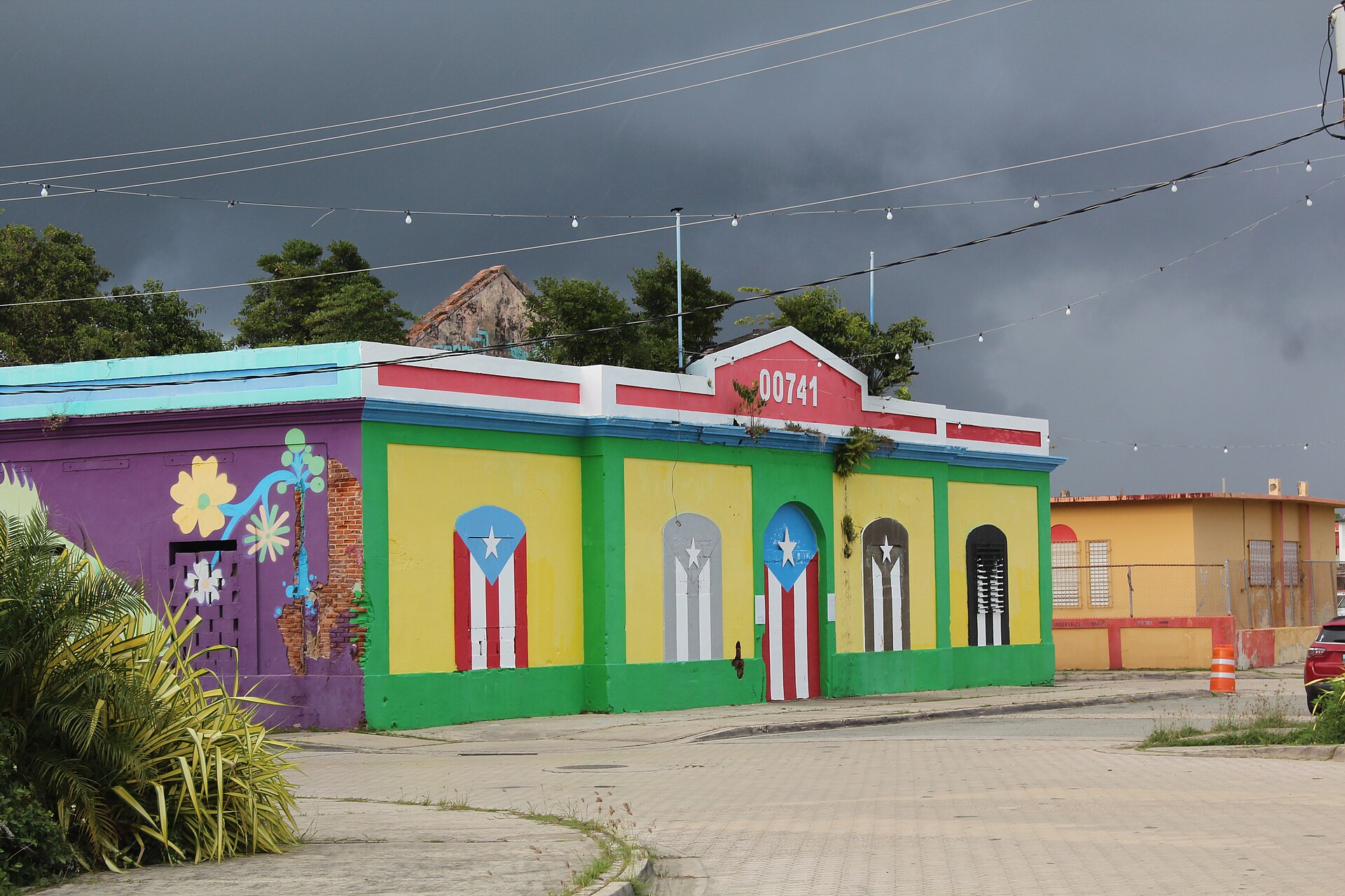
Coastal barrio and wetland / reserve landscapes east of town — mangroves, lagoons, and shoreline that matter for birds, storm buffers, and local fishing memory. The old customs house (aduana) at Punta Santiago is a surviving piece of the port-and-coast story.
People
Jumacao (cacique)
The Taíno leader whose name the municipality commemorates. Exact biography details vary by source — Spanish chronicles and later municipal tradition blend — but the association with eastern Borikén’s Indigenous leadership is the point of the place-name.
Tito Rojas (1955–2020)
Julio César Rojas López — “El Gallo Salsero” — was born in Humacao and became one of salsa’s great soneros: powerful voice, crowd command, and a catalog that still fills Puerto Rican and diaspora dance floors. For many Humacaños abroad, his music is the sound of home.
Diaspora
Like the rest of Puerto Rico, Humacao’s population story is incomplete without the mainland United States. Generations left for factory, service, and professional work — especially in:
- Florida — Orlando, Tampa Bay, Miami metro, and other Sun Belt hubs with large Boricua communities.
- New York — historic center of Puerto Rican mainland life (NYC metro and upstate ties).
- Pennsylvania — Philadelphia and other cities with long-standing Puerto Rican neighborhoods.
- Also Connecticut, Massachusetts, New Jersey, Illinois, Texas, and beyond — wherever family chains led.
Holidays, hurricane recovery, WhatsApp family groups, and summer / Christmas flights keep Humacao and the mainland in one conversation. This page is for that split geography: people who want plaza photos, salsa, and maps when they cannot be on the island.
Flags — Puerto Rico history
Flags flown over Humacao changed with empire, revolt, and territorial status. Plain-English notes below; Spanish names stay where they help you search.
Links from home
For people in the diaspora: maps, photos, music, and reading — combined into one card when a topic spans several platforms. English labels; Spanish names where they help you search.
Maps
See Humacao & the island
Hear it — Tito Rojas
Read
Sources & further reading
- Wikipedia: Humacao, Puerto Rico · Español: Humacao
- Wikipedia: Flag of Puerto Rico
- Wikipedia: Grito de Lares
- Wikipedia: Tito Rojas
- Wikipedia: Casa Roig Museum
- Wikimedia Commons: Flag of Puerto Rico.svg (public domain)
- Wikimedia Commons: Cross of Burgundy.svg (reference for colonial banner geometry)
- Photo credits on each caption (Wikimedia Commons CC BY / CC BY-SA as labeled); see matching
.credit.txtfiles inimg/ - Historical flag art on this page (except the Commons PR flag SVG): public-domain-style geometric recreations for education